Datasets
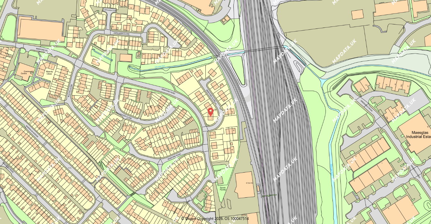
Trusted datasets from Ordnance Survey, BGS, the Environment Agency, Land Registry and OceanWise — delivered clearly, consistently and ready for real‑world use across your projects.
Why it matters
- Accurate base mapping and boundary data for planning, design and asset workflows
- Flood and geology coverage for due diligence, compliance and risk assessment
- Coastal and marine data for offshore planning and environmental insight.
Datasets available from Mapdata.uk
| Provider | Key datasets | Why it matters |
|---|---|---|
| Ordnance Survey |
|
Accurate land, building and terrain geometry for planning and mapping delivery. |
| British Geological Survey |
|
Subsurface intelligence for flood risk, foundations and environmental assessment. |
| Environment Agency |
|
Flood risk and historic inundation data for planning and compliance decisions. |
| Land Registry |
|
Parcel and ownership references for property boundary and title workflows. |
| Oceanwise |
|
Coastal and marine geodata for offshore planning and environmental insight. |
| Miscellaneous |
|
Contextual mapping for heritage, planning and emergency services. |
We add new datasets all the time — if you can’t find what you’re looking for, let us know.
Pricing
Below is an example of our standard pricing structure within the Mapdata.uk portal.
| Product | Type | Price |
|---|---|---|
| Ordnance Survey Mastermap | Data export (DWG / DXF / SHP) - 1ha | £16 + VAT |
| Data export (DWG / DXF / SHP) - 2ha | £24.50 + VAT | |
| Data export (DWG / DXF / SHP) - 4ha | £41.50 + VAT | |
| Data export (DWG / DXF / SHP) > 4ha | From £41.50 + VAT | |
| Ordnance Survey VML | Data export (TIFF) | From £16.50 + VAT |
| Ordnance Survey OML | Data export (TIFF) | From £5 + VAT |
| Ordnance Survey 1:50k Raster | Data export (TIFF) | From £5 + VAT |
| — | — | — |
| Ordnance Survey Mastermap | Print (PDF / JPG) - @1:200 (0.13 ha) | £9.50 + VAT |
| Print (PDF / JPG) - @1:500 (0.8 ha) | £9.50 + VAT | |
| Print (PDF / JPG) - @1:1250 (5 ha) | £18.50 + VAT | |
| Print (PDF / JPG) - @1:2500 (19.97ha) | £52.25 + VAT |