DWG & DXF Planning Maps for Architects
CAD‑ready Ordnance Survey MasterMap and planning maps in DWG and DXF formats — ready for to download as a printable Map or consume within AutoCAD, Revit, ArchiCAD and Vectorworks. Fast, accurate and fully licensed.
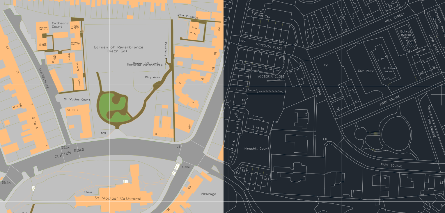
Why CAD-ready mapping matters
- DWG/DXF files integrate directly into established CAD workflows.
- Essential for planning drawings, feasibility studies and site plans.
- Contains Building Height Attributes that provides detailed height information for buildings and select structures across Great Britain, enabling 3D visualization and analytical applications.
- Each DWG/DXF file includes the required OS copyright notice and licence number for compliance.
- Each DWG/DXF export includes clearly marked OS data currency for full transparency
- Compatible with all major CAD platforms.
What We Provide
CAD‑Ready MasterMap
High-accuracy Ordnance Survey MasterMap exported directly to DWG or DXF for architectural design, boundary analysis and planning drawings.
DWG/DXF Planning Maps
Compliant 1:1250, 1:500 and 1:200 maps for planning applications, development proposals and site plans.
Site Plans in DWG/DXF
Ideal for feasibility studies, constraints analysis and early-stage design.
GIS‑Ready Alternatives
SHP and GeoPackage formats available for GIS workflows.
Supported CAD Software
- AutoCAD
- Revit
- Vectorworks
- MicroStation
DWG/DXF exports work seamlessly with all major CAD platforms.
Sample Pricing
| Product | Area | Price |
|---|---|---|
| Ordnance Survey Mastermap | 1ha | £16 + VAT |
| 2ha | £24.50 + VAT | |
| 4ha | £41.50 + VAT | |
| > 4ha | From £41.50 + VAT |